


The Science of Where: An Introduction to Geographic Information System Technology
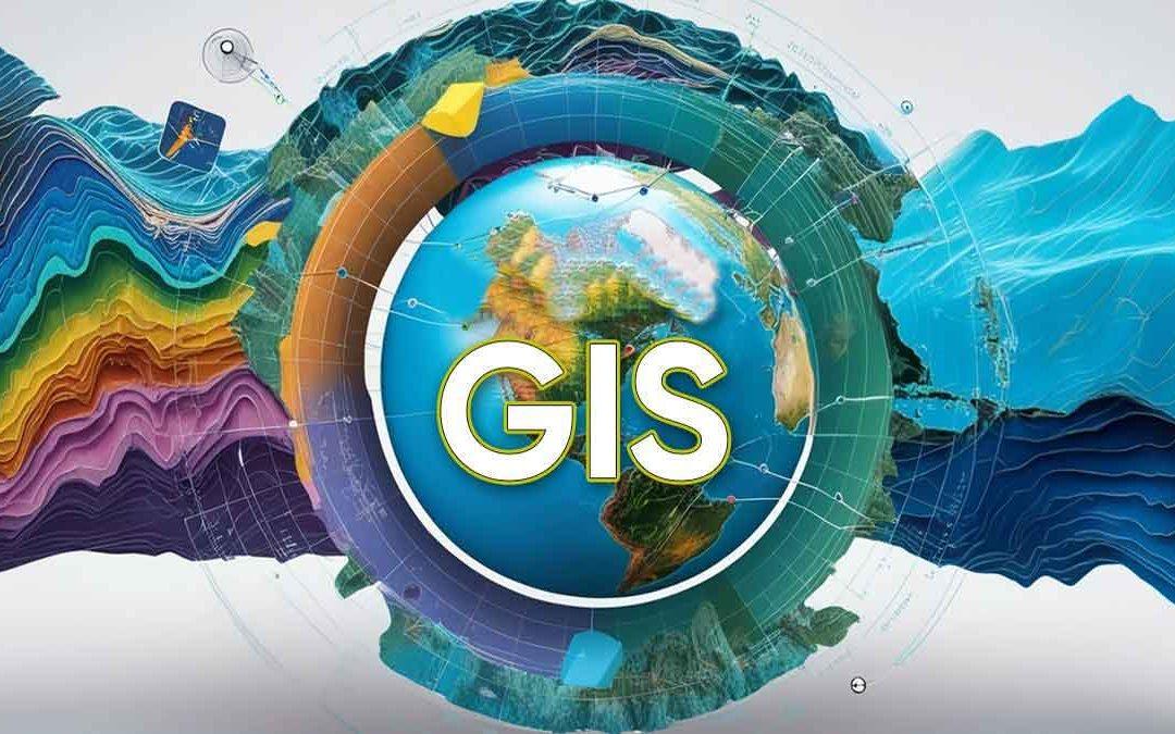
In a world overflowing with data, understanding the "where" is often as important as understanding the "what." This is the powerful domain of the Geographic Information System (GIS), a technological framework designed to capture, store, analyze, manage, and present all types of spatial or geographical data. A GIS is not just a digital map; it is a smart map. It links location information with descriptive data (what something is) in a layered format, allowing users to see, understand, question, interpret, and visualize data in ways that reveal relationships, patterns, and trends. By transforming raw data into visual, location-based intelligence, GIS provides a completely new lens through which to view the world, empowering businesses, governments, and scientists to make more informed decisions, optimize operations, and solve complex real-world problems by leveraging the power of geography.
At its core, a GIS works by organizing data into thematic layers. Imagine a map of a city. One layer might show the street network, another could show the location of all the fire hydrants, a third could display building footprints, and a fourth could be a demographic layer showing population density by neighborhood. A GIS allows a user to stack these layers on top of each other and see how they relate. Each feature on the map (like a specific fire hydrant) is linked to a database entry that contains its attributes (e.g., its installation date, its flow rate, its last inspection). This powerful combination of spatial data (the "where") and attribute data (the "what") is what distinguishes a GIS from a simple map-making program, turning the map into a dynamic and analytical tool.
The true power of GIS lies in its analytical capabilities. GIS software can perform a wide range of spatial analysis tasks that reveal insights impossible to see in a simple spreadsheet. Proximity analysis can answer questions like, "How many homes are within a 5-minute drive of a proposed new fire station?" Overlay analysis can combine different data layers to find areas that meet multiple criteria, such as finding a location for a new store that is in a high-income neighborhood but is not close to an existing competitor. Network analysis is used to find the most efficient delivery routes or to determine the optimal location for emergency services. This ability to ask complex spatial questions and get data-driven answers is what makes GIS an indispensable tool for planning and decision-making in countless fields.
The applications of GIS are vast and touch almost every aspect of modern life. Urban planners use it to model city growth and manage zoning regulations. Utility companies use it to map their entire network of pipes and wires, enabling them to manage assets and respond to outages more efficiently. In agriculture, GIS is used for precision farming, helping farmers to apply fertilizer and water only where it is needed. Environmental scientists use it to track deforestation, model the spread of pollution, and manage natural resources. For emergency response, it is used to map the extent of a disaster, coordinate rescue efforts, and identify vulnerable populations. In essence, any problem that has a geographic component—which is most of them—can be better understood and solved using a Geographic Information System.
Top Trending Reports:

 English
 Arabic
 French
 Spanish
 Portuguese
 Deutsch
 Turkish
 Dutch
Dutch
 Italiano
 Russian
 Romaian
 Portuguese (Brazil)